Nearby Photos 1 mile 5 miles Linked Photos | Add your Location | Add to this Location
[See location on a map using a - Computer, Android Phone, or iPhone ] | [Share note by text with Android ][ Go with Uber in a Browser | Get $20 Uber Credit ]
Three photos nearby within one mile.
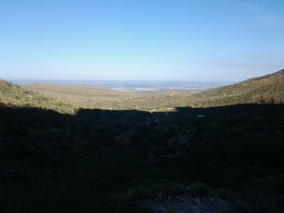
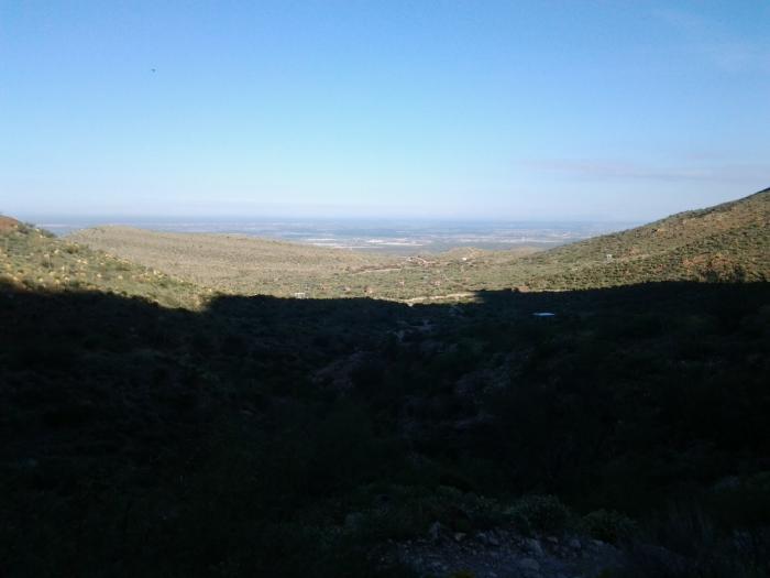
Franklin Aztec trail
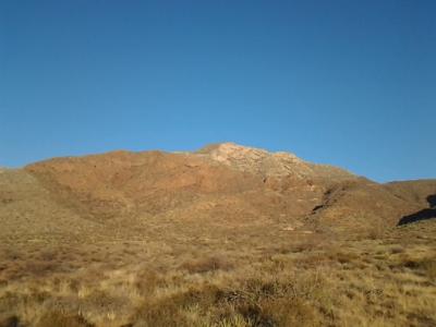
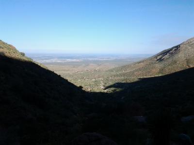
Franklin Mountains State Park
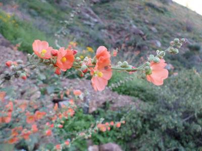
Wildflower at azteca trail. John Mays section of the Franklin Mountains State Park in El Paso
Share photos and notes from your smartphone with location information at GPShere.info. Search for nearby places from your phone. Buy an advertisement here for $1 for the entire year. It can be text or a link. Limit three per page. Buy Now.
+ Share Facebook + Twitter + Android SMS Text
Showing first five replies; total replies are 5. See all Replies
0 Miles - Franklin mountains ...Read more
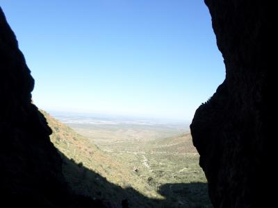
0.208 Miles - Azteca caves Franklin mountains ...Read more
Showing nearby photos within 10 miles.
9.722 Miles - Piedmont and Robinson ...Read more

7.36 Miles - Iron Horse Furnishings El Paso ...Read more
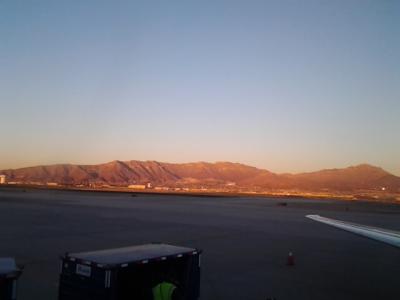
10.669 Miles - Franklin Mountains from the El Paso International Airport ...Read more
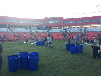
4.589 Miles - Cohen Stadium ...Read more
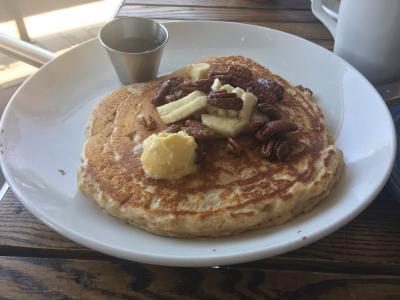
4.952 Miles - Pancakes at Ripe #food 910 E Redd Rd Unit A El Paso, TX 79912 United States ...Read more