Nearby Photos 1 mile 5 miles Linked Photos | Add your Location | Add to this Location
[See location on a map using a - Computer, Android Phone, or iPhone ] | [Share note by text with Android ][ Go with Uber in a Browser | Get $20 Uber Credit ]
Three photos nearby within one mile.
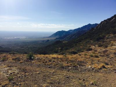
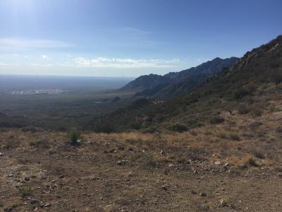
Baylor Canyon Hiking Trail. Top of the trail. Taken with an iPhone
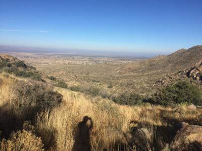
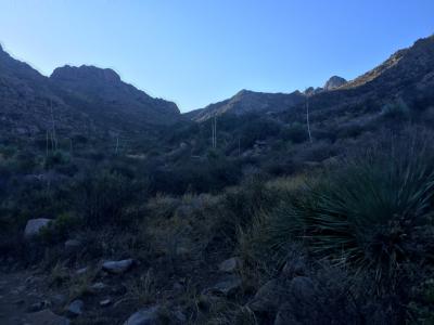
OpenNote: Higher up Baylor
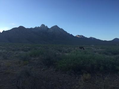
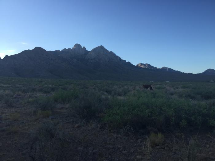
Baylor Canyon Hiking Trail. Free range cattle
Share photos and notes from your smartphone with location information at GPShere.info. Search for nearby places from your phone. Buy an advertisement here for $1 for the entire year. It can be text or a link. Limit three per page. Buy Now.
+ Share Facebook + Twitter + Android SMS Text
Showing first five replies; total replies are 5. See all Replies
0.844 Miles - Baylor Canyon Hiking Trail. Free range cattle ...Read more
1.996 Miles - Baylor Canyon Hiking Trail. Top of the trail. ...Read more
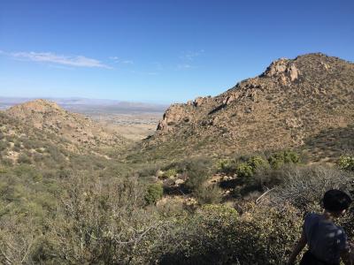
0 Miles - Baylor Canyon Hiking Trail. Looking towards Las Cruces ...Read more
0 Miles - Baylor Canyon Hiking Trail. Top of the trail. Taken with an iPhone ...Read more
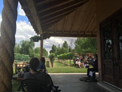
32.18 Miles - OpenNote: Zin Valle Vineyards Live Music on Sundays ...Read more
Showing nearby photos within 10 miles.
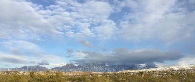
8.033 Miles - Snow on the Organ Mountains December 2015 ...Read more
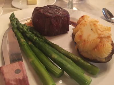
13.442 Miles - Double Eagle. Filet Mignon, great medium rare, served with asparagus and potatoe. Las Cruces. #food ...Read more
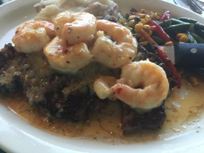
13.211 Miles - Saint Claire Winery ribeye with shrimp scampi #food ...Read more

10.777 Miles - OpenNote: 2016 Unm at Nmsu football ...Read more
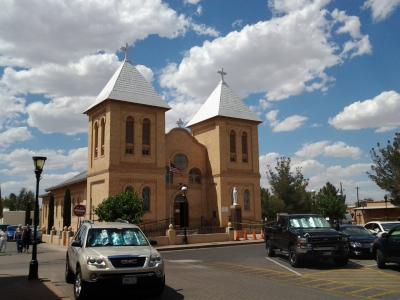
12.934 Miles - Prior spot | Church at Mesilla ...Read more