Nearby Photos 1 mile 5 miles Linked Photos | Add your Location | Add to this Location
[See location on a map using a - Computer, Android Phone, or iPhone ] | [Share note by text with Android ][ Go with Uber in a Browser | Get $20 Uber Credit ]
Three photos nearby within one mile.
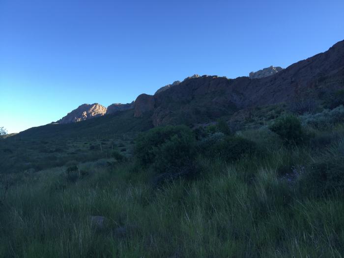
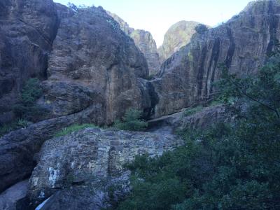
Soledad Canyon hiking trail
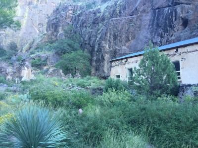
Van Patten's Mountain Camp near Dripping Springs
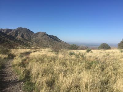
Dripping Springs view of the valley from the visitor center.
Share photos and notes from your smartphone with location information at GPShere.info. Search for nearby places from your phone. Buy an advertisement here for $1 for the entire year. It can be text or a link. Limit three per page. Buy Now.
+ Share Facebook + Twitter + Android SMS Text
Showing first five replies; total replies are 1. See all Replies
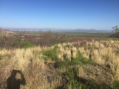
NAN Miles - OpenNote: Dripping Springs at the middle of the hiking trail. A small stream that ends in a small spout. To the left is Van Patten's Mou ...Read more
Showing nearby photos within 10 miles.

9.714 Miles - Fireworks from the Fulton Center patio. Fourth of July 2019 ...Read more
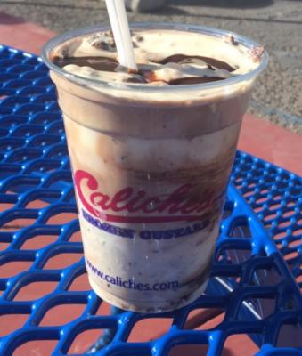
8.75 Miles - Caliches Fudge Brownie Bliss vanilla custard blended with brownie bits and hot fudge. #food 2019 ...Read more
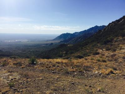
4.887 Miles - Baylor Canyon Hiking Trail. Top of the trail. Taken with an iPhone ...Read more

12.837 Miles - Escargot at Double Eagle an appetizer. Snails are from Oregon. #food 2019 ...Read more

11.432 Miles - Rad Retrocade arcade ...Read more