Nearby Photos 1 mile 5 miles Linked Photos | Add your Location | Add to this Location
[See location on a map using a - Computer, Android Phone, or iPhone ] | [Share note by text with Android ][ Go with Uber in a Browser | Get $20 Uber Credit ]
Three photos nearby within one mile.
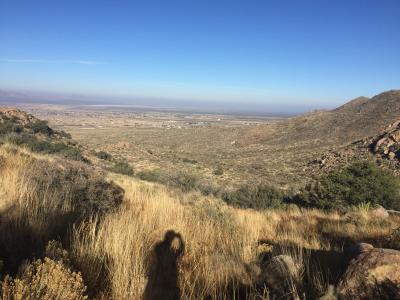
OpenNote: Higher up Baylor
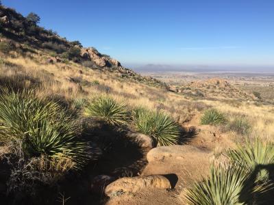
OpenNote: Baylor Canyon hiking trail
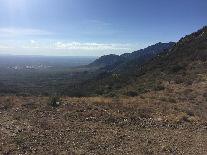
Top of Baylor Canyon hiking trail
Share photos and notes from your smartphone with location information at GPShere.info. Search for nearby places from your phone. Buy an advertisement here for $1 for the entire year. It can be text or a link. Limit three per page. Buy Now.
+ Share Facebook + Twitter + Android SMS Text
No replies - write a reply
Showing nearby photos within 10 miles.
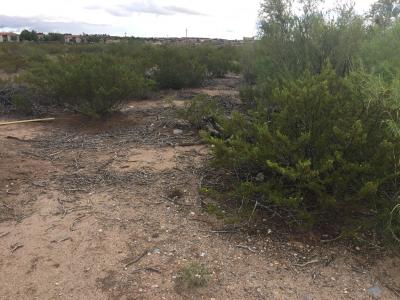
10.235 Miles - Creosote Bush can survive two years without water. Leaves were previously used by Native Americans for medicine. Sagecrest Trail ...Read more
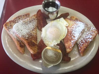
11.577 Miles - Frenchy sandwich French toast with egg and bacon #food Mesilla Valley Kitchen ...Read more
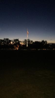
12.379 Miles - American Flag at night NMSU ...Read more

12.46 Miles - Doug at Bosque ...Read more
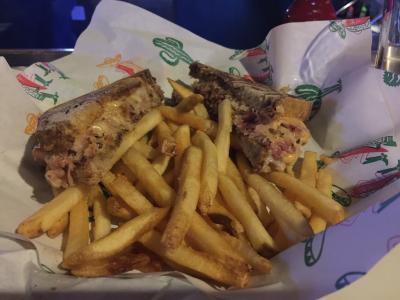
11.864 Miles - Reuben sandwich with fries at Dublins #food ...Read more