Search:

OpenNote: Rio Grande New Mexico Texas Border

498.642 Miles Map- OpenNote: Rio Grande New Mexico Texas Border [+]

Soledad Canyon hiking trail water fall small trickle

508.057 Miles Map- Soledad Canyon hiking trail water fall small trickle [+]

The mountains of El Paso from the front of up and running

492.751 Miles Map- The mountains of El Paso from the front of up and running [+]

Inn of The Mountain Gods winter

488.989 Miles Map- Inn of The Mountain Gods winter [+]

 Peche  Lambic  beer at  Hoppy  Monk.  The sweetest beer ever with a  strong true flavor o

493.106 Miles Map- Peche Lambic beer at Hoppy Monk. The sweetest beer ever with a strong true flavor of peaches. [+]

White Rascal at Hoppy Monk. Light and sweet beer.

493.073 Miles Map- White Rascal at Hoppy Monk. Light and sweet beer. [+]

Reuben sandwich with fries at Dublins #food

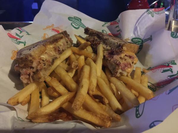
516.641 Miles Map- Reuben sandwich with fries at Dublins #food [+]

El Paso from the Mountains. Stanton road leads up into the base of the Franklin Mountains.

493.672 Miles Map- El Paso from the Mountains. Stanton road leads up into the base of the Franklin Mountains. [+]

OpenNote: Near Fillmore Canyon

509.535 Miles Map- OpenNote: Near Fillmore Canyon [+]

Baylor Canyon Hiking Trail. Looking towards Las Cruces

511.623 Miles Map- Baylor Canyon Hiking Trail. Looking towards Las Cruces [+]


Page: 1 2 3 4 5 6 7 8 9 10 11 12 13 14 15 16 17 18 19 20 21 22 23 24 25 26 27 28 29 30 31 32 33 34 35 36 37 38 39 40 41 42 43 44 45 46 47 48 49 50 51 52 53 54 55 56 57 58 59 60 61 62 63 64 65 66 67 68 69 70 71 72 73 74 75 76 77 78 79 80 81 82 83 84 85 86 87 88 89 90 91 92 93 94 95 96 97 98 99 100 101 102 103 104 105 106 107 108 109 110 111 112 113 114 115 116 117 118 119 120 121 122 123 124 125 126 127 128 129