Search:
1.117 Miles Map- El Paso from the Mountains. Stanton road leads up into the base of the Franklin Mountains. [+]
2.586 Miles Map- Prior spot | Utep buildings and the horizon to the south [+]
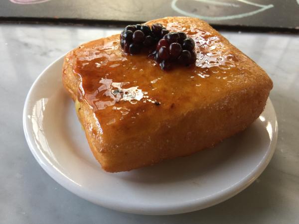
0.007 Miles Map- Rotating donuts at Hillside Coffee. Raspberry on top, lemon curd filling. #food. Excellent, as complex as a slice of cake. [+]
527.14 Miles Map- Mt Bonnell [+]
116.432 Miles Map- A rest stop between El Paso and Odessa. The plains of Texas [+]
570.63 Miles Map- The lights at Katy Trail Ice House are always on at night. Dallas pub crawl. Click on reply with automatic location to add your next spot. C [+]
558.028 Miles Map- Austin airport terminal a [+]
9.164 Miles Map- Andales in El Paso. rotating drink specials. Great Vegas bombs. [+]
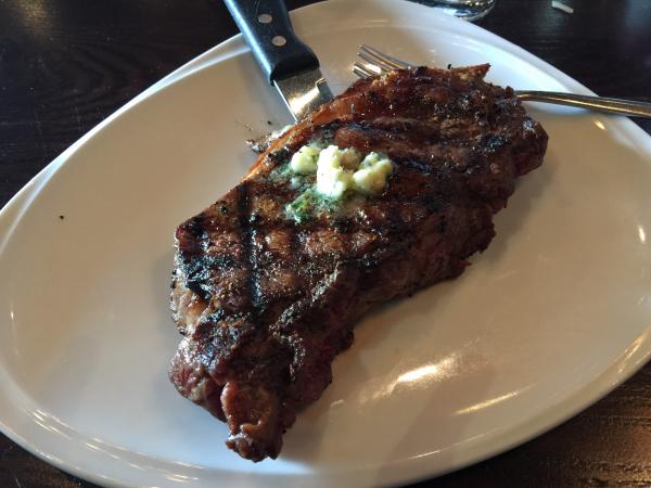
1.267 Miles Map- OpenNote: New York Strip steak at Cafe Grille #food. Better medium rare $26 El Paso [+]
34.583 Miles Map- Soledad Canyon hiking trail [+]
 Prior spot | Utep buildings and t" style="max-width:100%">