Search:
3.758 Miles Map- Palisades from the top of the path. A view of El Paso and Juarez. Hiking within ten minutes of downtown, a unique city. [+]
2.948 Miles Map- Dragon Roll at Aki Sushi #food [+]
5.814 Miles Map- Franklin Mountains State Park [+]
38.156 Miles Map- Top of Baylor Canyon hiking trail [+]
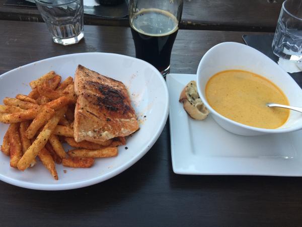
34.006 Miles Map- Blackened salmon and Thai soup at Bosque #food [+]
36.214 Miles Map- A pond in the desert. Part of the flood pool of the Las Cruces dam. [+]
5.545 Miles Map- Camino Real Hotel El Paso [+]
4.084 Miles Map- Garlic shrimp at Tara Thai [+]
32.587 Miles Map- Fabens on the way to cattlemans [+]
6.691 Miles Map- Prior spot | El Paso Panorama [+]

 Prior spot | El Paso Panorama" style="max-width:100%">