Search:

Baylor Canyon Hiking Trail. Looking towards Las Cruces

13.457 Miles Map- Baylor Canyon Hiking Trail. Looking towards Las Cruces [+]

Blue fox burger at The Hoppy Monk #food

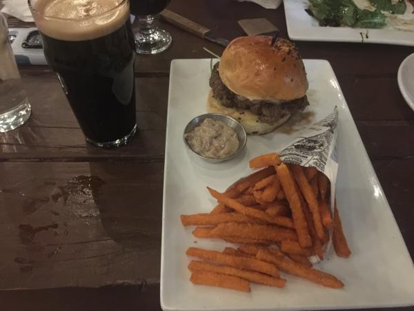
37.289 Miles Map- Blue fox burger at The Hoppy Monk #food [+]

Two step breakfast at Ripe #food 2019

31.933 Miles Map- Two step breakfast at Ripe #food 2019 [+]

El Paso from the Mountains. Stanton road leads up into the base of the Franklin Mountains.

35.251 Miles Map- El Paso from the Mountains. Stanton road leads up into the base of the Franklin Mountains. [+]

Heart of the Desert Vineyards. A sweet Muscat.

10.71 Miles Map- Heart of the Desert Vineyards. A sweet Muscat. [+]

End of A Mountain Hiking Trail

5.481 Miles Map- End of A Mountain Hiking Trail [+]

Hot Chocolate at La Madeline #food

42.837 Miles Map- Hot Chocolate at La Madeline #food [+]

OpenNote: OpenNote: La Cueva Trail hiking waterfall in the dessert Las Cruces

12.802 Miles Map- OpenNote: OpenNote: La Cueva Trail hiking waterfall in the dessert Las Cruces [+]

Burger bites at Pecan Grill $12 #food

4.069 Miles Map- Burger bites at Pecan Grill $12 #food [+]

Lions Park tennis court lighted courts at night #usta

2.808 Miles Map- Lions Park tennis court lighted courts at night #usta [+]


Page: 1 2 3 4 5 6 7 8 9 10 11 12 13 14 15 16 17 18 19 20 21 22 23 24 25 26 27 28 29 30 31 32 33 34 35 36 37 38 39 40 41 42 43 44 45 46 47 48 49 50 51 52 53 54 55 56 57 58 59 60 61 62 63 64 65 66 67 68 69 70 71 72 73 74 75 76 77 78 79 80 81 82 83 84 85 86 87 88