Search:
9.928 Miles Map- Soledad Canyon hiking trail [+]
10.289 Miles Map- Soledad Canyon hiking trail water fall small trickle [+]
3.789 Miles Map- A Mountain [+]
11.234 Miles Map- Baylor Canyon Hiking Trail. Looking towards Las Cruces [+]
1.748 Miles Map- Putting green NMSU golf course [+]
8.769 Miles Map- OpenNote: La Cueva Trail [+]
2.39 Miles Map- Banana quesadilla dessert at Double Eagle topped with ice cream and pecans. [+]
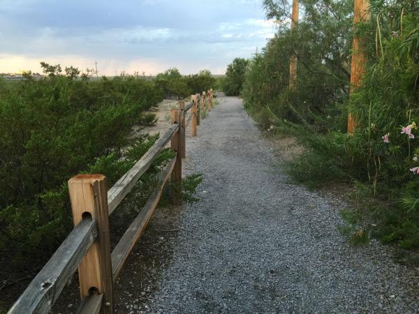
3.143 Miles Map- The beginning of the trail at Sagecrest #hiking [+]
4.516 Miles Map- Rio Grande River at La Llorona Park [+]
3.352 Miles Map- Trail up A Mountain Las Cruces near the top [+]