Search:

Trail up A Mountain Las Cruces

3.161 Miles Map- Trail up A Mountain Las Cruces [+]

Baylor Canyon Hiking Trail. Free range cattle

11.238 Miles Map- Baylor Canyon Hiking Trail. Free range cattle [+]

Hueco Tanks

48.737 Miles Map- Hueco Tanks [+]

<a href=Prior spot | Nutella based desser" style="max-width:100%">

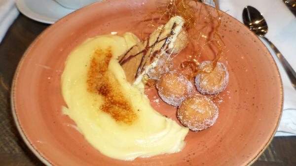
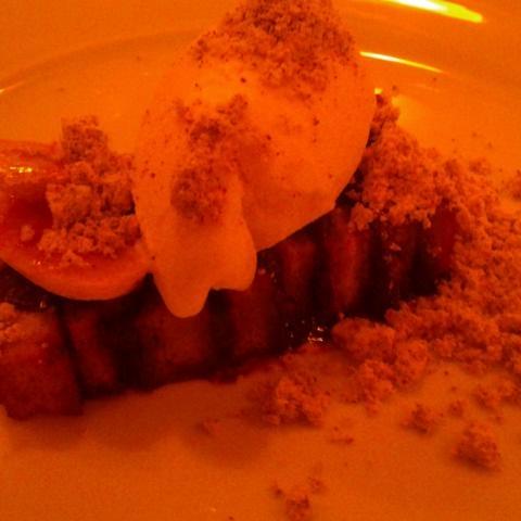
39.562 Miles Map- Prior spot | Nutella based dessert at Anson 11. Served with ice cream. Went well wi [+]

Palisades Hiking Trail. View of El Paso and Juarez.

36.93 Miles Map- Palisades Hiking Trail. View of El Paso and Juarez. [+]

<a href=Prior spot | Rim Road El Paso vie" style="max-width:100%">

38.04 Miles Map- Prior spot | Rim Road El Paso view of downtown. Scenic Drive nearby. [+]

Dessert at Stonewood. #food. Creme brulee with donut holes.

35.736 Miles Map- Dessert at Stonewood. #food. Creme brulee with donut holes. [+]

<a href=Prior spot | Paul L Foster School" style="max-width:100%">

40.247 Miles Map- Prior spot | Paul L Foster School of Medicine at Texas Tech at El Paso education bu [+]

Public tennis courts on Oregon Avenue at Alomogordo 2019

63.995 Miles Map- Public tennis courts on Oregon Avenue at Alomogordo 2019 [+]

Parking lot near the Garden in El Paso. Cash only $10.

39.62 Miles Map- Parking lot near the Garden in El Paso. Cash only $10. [+]


Page: 1 2 3 4 5 6 7 8 9 10 11 12 13 14 15 16 17 18 19 20 21 22 23 24 25 26 27 28 29 30 31 32 33 34 35 36 37 38 39 40 41 42 43 44 45 46 47 48 49 50 51 52 53 54 55 56 57 58 59 60 61 62 63 64 65 66 67 68 69 70 71 72 73 74 75 76 77 78 79 80 81 82 83 84 85 86 87 88